
Activity Feed › Discussion Forums › Strictly Surveying › IGS Earth rotation, atmospheric parameters etc.
IGS Earth rotation, atmospheric parameters etc.
Posted by totalsurv on November 7, 2019 at 12:06 pmAs well as the precise ephemerides just wondering if anyone uses the clock, earth rotation, atmospheric parameter files etc. available for download a couple of weeks after the required date. If so what does it add to a GNSS static survey?
I have tried importing some of these files into Topcon Magnet Tools but it is not recognizing them. What is the best processing software for working with these kind of files?
totalsurv replied 4 years, 5 months ago 4 Members · 6 Replies- 6 Replies

Probably PAGES, which can be downloaded for free from the NGS (or used to be, I haven’t used it lately).
Loyal

It’s been a while (~2 years) since I have blue-booked anything with PAGES, but at the time it did not take in the earth rotation or atmospheric files provided by IGS – only the final orbit (SP3) files. It does account for tide loading, but that is built into the software.
Trimble Business Center will connect to the IGS site and download the orientation parameters, but not atmospheric. Clock biases are accounted for in the final orbits.
“…people will come to love their oppression, to adore the technologies that undo their capacities to think.” -Neil Postman- Posted by: @rover83
It’s been a while (~2 years) since I have blue-booked anything with PAGES, but at the time it did not take in the earth rotation or atmospheric files provided by IGS – only the final orbit (SP3) files. It does account for tide loading, but that is built into the software.
Trimble Business Center will connect to the IGS site and download the orientation parameters, but not atmospheric. Clock biases are accounted for in the final orbits.
Thanks for the update/clarification.
Loyal

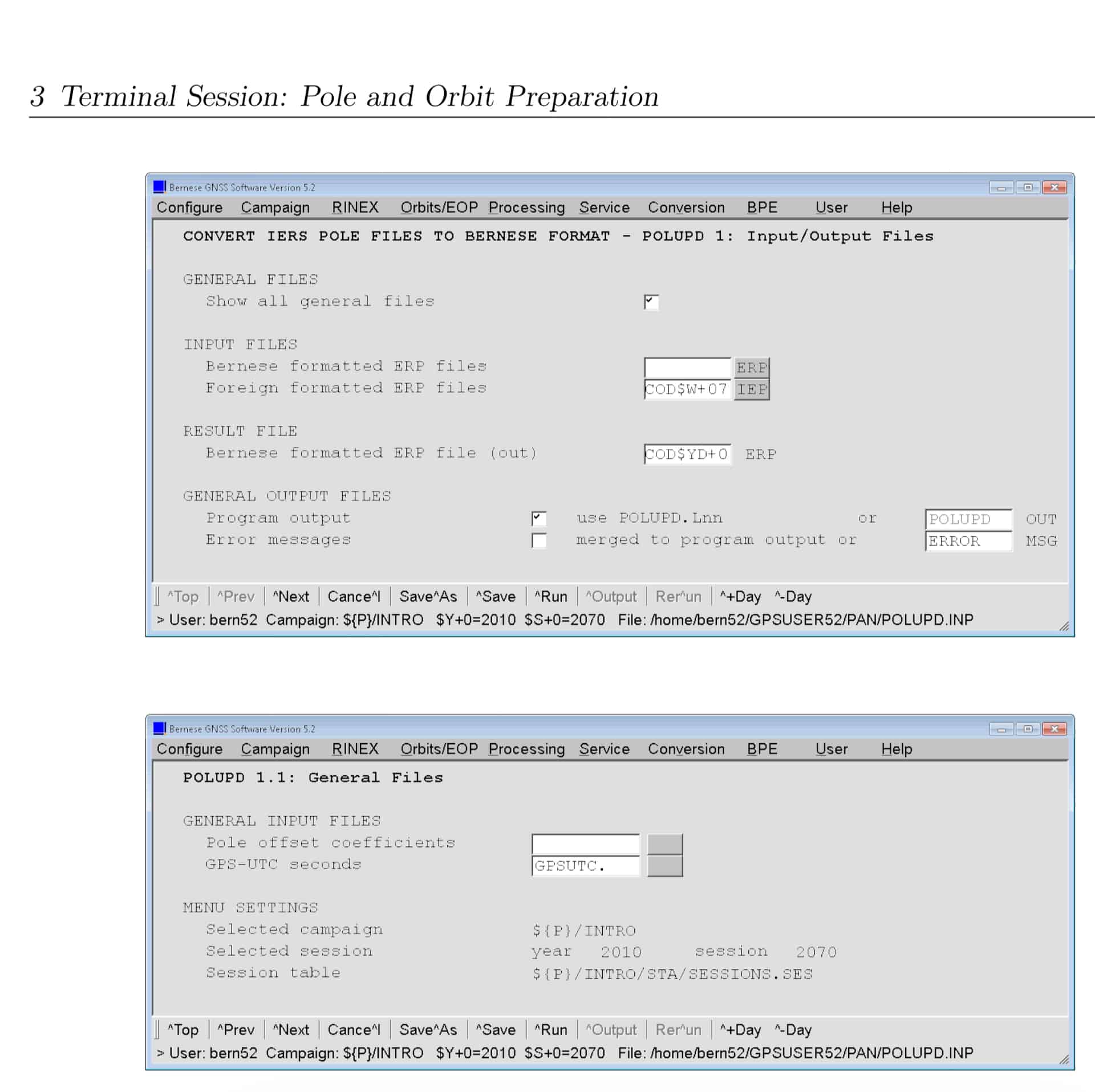
As indicated previously, PAGES does not use these external file. Bernese does. For information on Bernese see: http://www.bernese.unibe.ch/
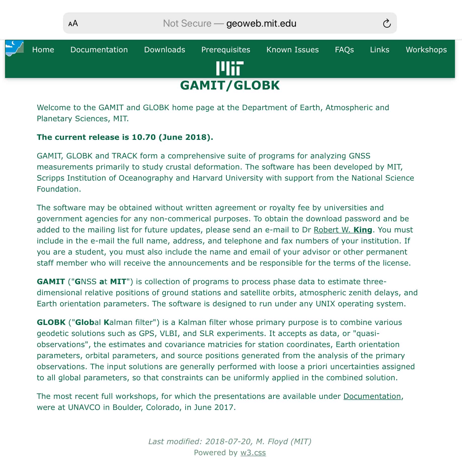
While some are daunted by the PAGES program, the academic package GAMIT is even more challenging. I recollect a time when a number of folks looked to PAGES as a way to avoid paying for commercial GPS processing software. They quickly found that the commercial packages were much more suited to their work. That said, their documentation provides great insight into high-level GNSS data reduction.
Those interested in the impact and importance of the data mentioned in the original post should review materials at the Bernese site (URL in previous post) and at the GAMIT site: http://geoweb.mit.edu/gg/ Both site provide links to program documentation. The GAMIT (GNSS At MIT) folks have delivered a number of workshops on program operation and use. It operates under UNIX only. Copies of the materials used in the workshops are available for download.
BTW, the NGS PAGES as well as Bernese and GAMIT are all used for contributions to the IGS.
You can review processing strategies by the various IGS Analysis Centers through links on this site: http://www.igs.org/about/analysis-centers

Excellent thanks.


Log in to reply.