
Activity Feed › Discussion Forums › Software, CAD & Mapping › Magnet Tools 5.0 – Exporting Points
Magnet Tools 5.0 – Exporting Points
Posted by antcrook on August 18, 2018 at 8:19 pmWhen I try to export grid points to the default PNEZD the elevation that is returned is the ellipsoid height.
When I try and export to a customized PNEZD the elevation is correct but the Northings and Eastings are in meters.
It seems to work if I export to a LandXML.
Has anybody else experienced this?
zammo replied 5 years, 8 months ago 3 Members · 5 Replies- 5 Replies

In Tools version 5.0 all exports have a bug. It sucks. Elevations are in meters while x,y in feet. They issued an update v5.0.1. and it still has the bug you describe. Here is my workaround. Display points in tools. Copy to clipboard. Paste into Excel.

Hey mate,
Have you checked both the program or project settings? I just gave it a test run then and it seems to work. It needs to be changed to US Feet in project settings, if you change it in program settings it will still export in metric. Let us know if this doesn’t work.
Seems the problem only exist when using US Feet. In Tools v5.0 the software will export the X and Y in US Feet, while the elevation was in meters. I think this software is only beta tested in meters.
In Tools v5.0.1 the software will export the X, Y and Z in US Feet. But the Z is the Ellipsoidal height, not the orthometric as needed.
Another option may be to use 3D Office to export the points. I’ve had a couple issues with Magnet Office v5.0.1 aswell, found that we can’t import a DTM from a dwg file as a mesh anymore, just comes in as lines and faces. The dealers technician found that 3D Office will do it without any issues, so I’ve been doing that until the next update is released.
Just a thought though, have you selected a local co-ordinate system or are you using a geoid/projection? I’m not overly savvy with this but doesn’t the software need to reference from a co-ordinate file to calculate an ellipsoidal height? If you break the link to the external co-ordinate references it might default to standard metric-imperial conversion.
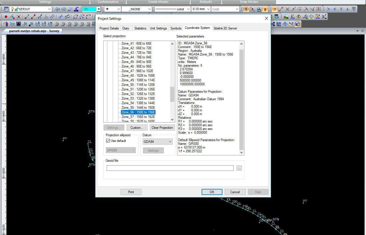
Check project settings>coordinate system. If something is selected hit clear projection and see if that helps.

Log in to reply.